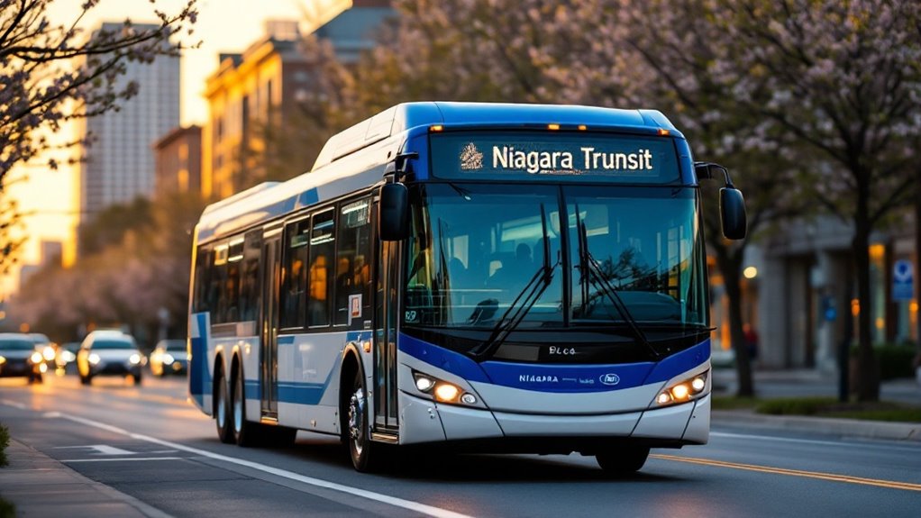
Welland Canal bridge crossings have entered the digital age with real-time tracking now available to motorists and boaters alike. Multiple platforms now provide up-to-the-minute status updates for the canal’s bridges, with information revitalizing in less than a minute. These digital tools help locals and visitors navigate around potential delays caused by ship traffic.
Modern bridge tracking brings real-time updates to canal travelers, refreshing status information by the minute for seamless navigation.
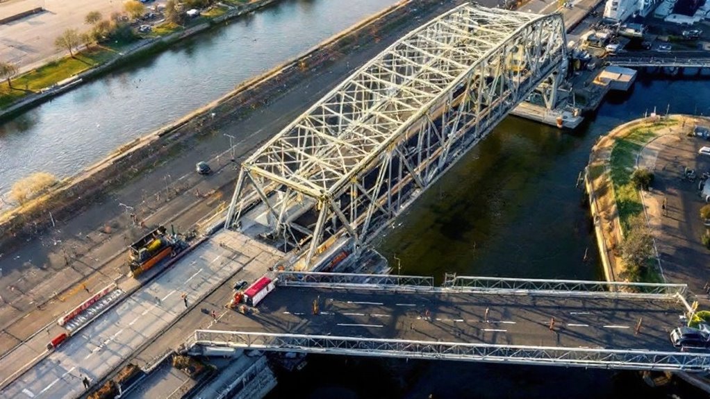
The tracking technology uses color-coded indicators to show bridge status at a glance. Green signals mean bridges are available for crossing, yellow indicates “raising soon,” and red shows the bridge is currently raised for ship passage. This simple system helps drivers make quick decisions about their routes without needing to understand complex maritime schedules.
Coverage extends to all major crossings including Lakeshore Road, Carlton Street, Queenston Street, Glendale Avenue, Highway 20, Main Street, Mellanby Avenue, and Clarence Street. The St. Lawrence Seaway Management Corporation oversees these operations as part of their role in managing the Welland Canal system. The information spans the entire canal region from St. Catharines through Thorold to Port Colborne, giving thorough coverage for the entire waterway.
While previous systems offered predictive scheduling features, many platforms now focus primarily on real-time status rather than future forecasts. This shift comes after changes to data sources limited some predictive capabilities. Users can still see current ship positions and ETAs in many cases, but extended forecasts may be less reliable.
Access to bridge status is available through both web applications and mobile apps, with widgets that can be placed on smartphone home screens for instant viewing. The interfaces are designed to be easy to understand with visual cues that convey information quickly.
The canal authority promotes a “TAKE THE GREEN” advisory system, encouraging motorists to cross when bridges show availability for 15 minutes or longer. This helps manage traffic flow around the busy waterway.
Maintenance activities and water management can affect lifting schedules, so the system also displays advisory messages about extended closures or operational changes.
Traffic management tools like this show how simple changes can improve daily life for commuters and visitors alike. Clear communication around infrastructure helps reduce delays and build trust with the public. Stay informed about local transportation updates and civic innovations on Marketplace Niagara.